Resources and Publications
Publication Downloads - Quaternary and Surficial Geology
Back to Publication Downloads home
Publications below are grouped by genre and may be available in alternate formats upon request.
Note: Surficial Geology maps and publications can be downloaded here.
GeoFile 1
Digital compilation of surficial point and line features for Manitoba, including ice-flow data
by M.S. Gauthier, A. Santucci and G.R. Keller
NOTE: This publication supersedes Open Files OF2013-10 and OF2020-1.
GeoFile 2
Manitoba till-matrix geochemistry compilation: silt plus clay (<63 μm) size-fraction by inductively coupled plasma–mass spectrometry after an aqua-regia or modified aqua-regia digestion
by M.S. Gauthier
NOTE: This publication supersedes Open File OF2020-3.
GeoFile 6
Manitoba radiocarbon ages
by M.S. Gauthier
NOTE: This publication supersedes Open File OF2021-1.
GeoFile 7
Manitoba till-matrix geochemistry compilation: total carbonate of the silt plus clay (<63 µm) size-fraction
by M.S. Gauthier
NOTE: This publication supersedes data previously available on the Manitoba carbonate dispersal analyses in till webpage.
GeoFile 8
Manitoba till-matrix geochemistry compilation: visible gold grains in the heavy mineral (<2 mm) size-fraction
by M.S. Gauthier
NOTE: This publication supersedes Open File OF2020-6.
Geoscientific Report GR93-1
The Fort Garry aquifer in Manitoba
By R.N. Betcher, H.R. McCabe, and F.W. Render
Geoscientific Report GR82-5
Aggregate resource inventory of the Churchill area
By R.V. Young
Geoscientific Report GR82-4
Quaternary geology and aggregate resource inventory of the Thompson area
By R.V. Young
NOTE: This report supersedes Preliminary Maps 1981TH-1 to 1981TH-4
Geoscientific Report GR80-7
Surficial geology of the Swan River area
By E. Nielsen
Geoscientific Report GR80-3
Quaternary Geology and Gravel Resources of the Island Lake–Red Sucker Lake Area
By E. Nielsen
NOTE: This download was updated in September 2019 to include seven ESRI® shapefiles representing the digitization of the Quaternary maps released as part of GR80-3.
Geoscientific Report GR80-2
Sand and Gravel Resources and Quaternary Geology of The Pas Region
By V. Singhroy and R. Werstler
NOTE: This report supersedes Preliminary Maps 1977S/PAS-1 to 1977S/PAS-9
Geoscientific Report GR77-2
Quaternary Geology and Gravel Resources of the Leaf Rapids Local Government District
By S. Ringrose and P. Large
Geoscientific Paper GP2022-2
Quaternary stratigraphy and ice-flow indicator data for the Gillam region, Manitoba (parts of NTS 54C, D, 64A)
By M.S. Gauthier, T.J. Hodder and M. Ross
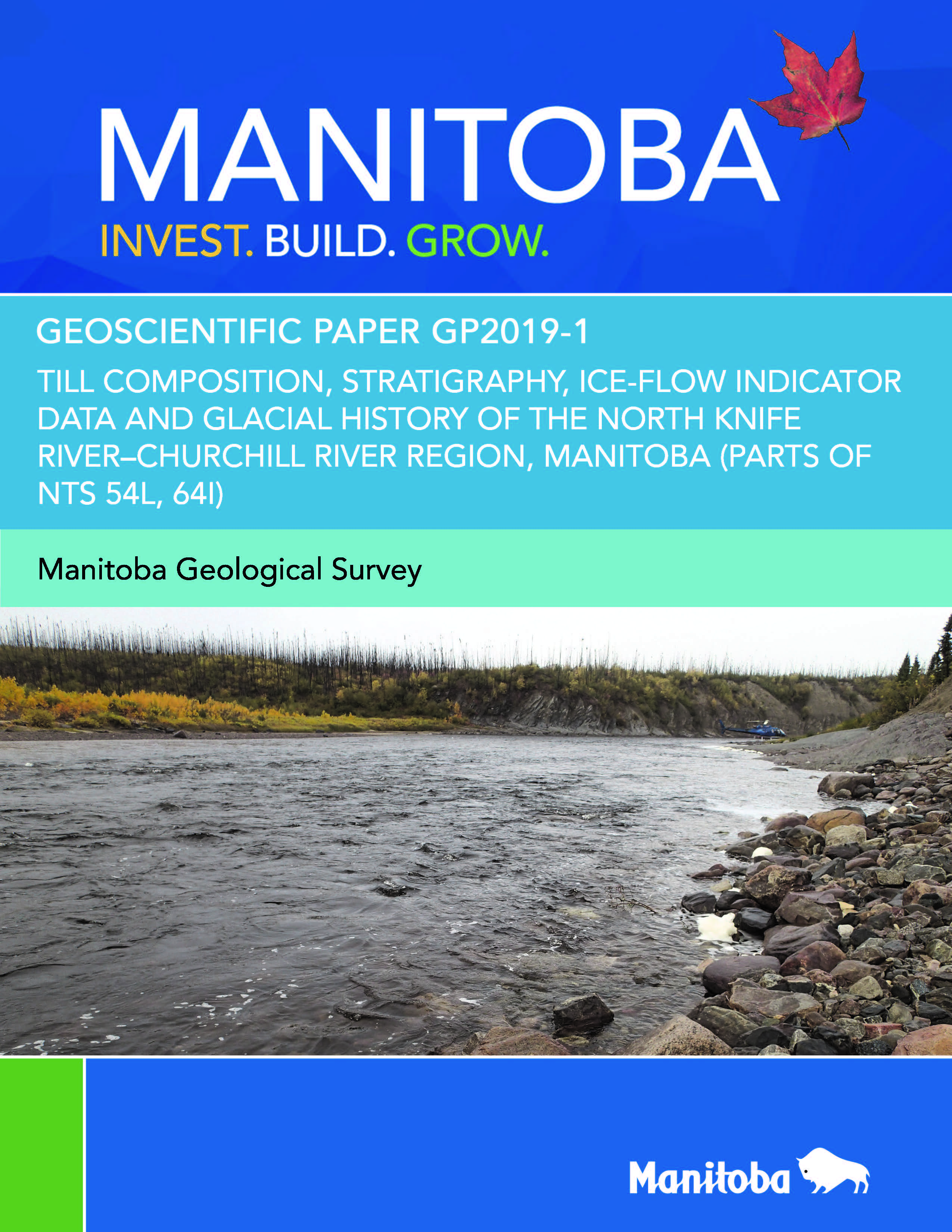
Geoscientific Paper GP2019-1
Till composition, stratigraphy, ice-flow indicator data and glacial history of the North Knife River–Churchill River region, Manitoba (parts of NTS 54L, 64I)
By M.S. Gauthier
Geoscientific Paper GP2015-1
Postglacial lacustrine and marine deposits, far
northeastern Manitoba (parts of NTS 54E, L, M, 64I, P)
By M.S. Gauthier
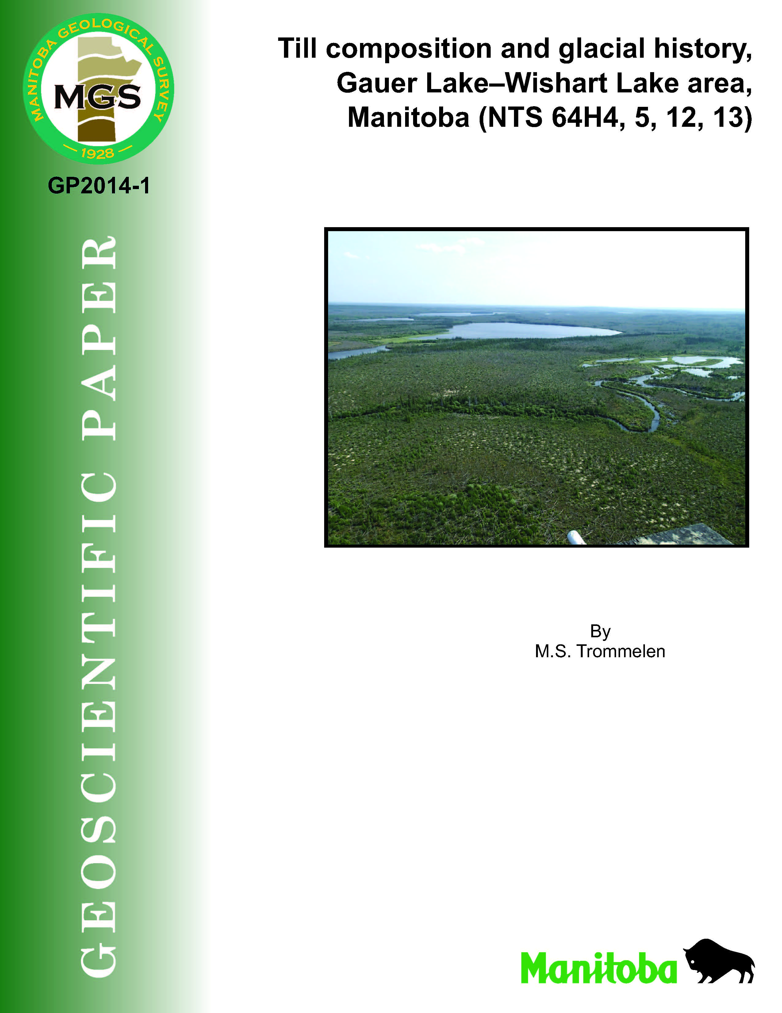
Geoscientific Paper GP2014-1
Till composition and glacial history, Gauer Lake–
Wishart Lake area, Manitoba (NTS 64H4, 5, 12, 13)
By M.S. Trommelen
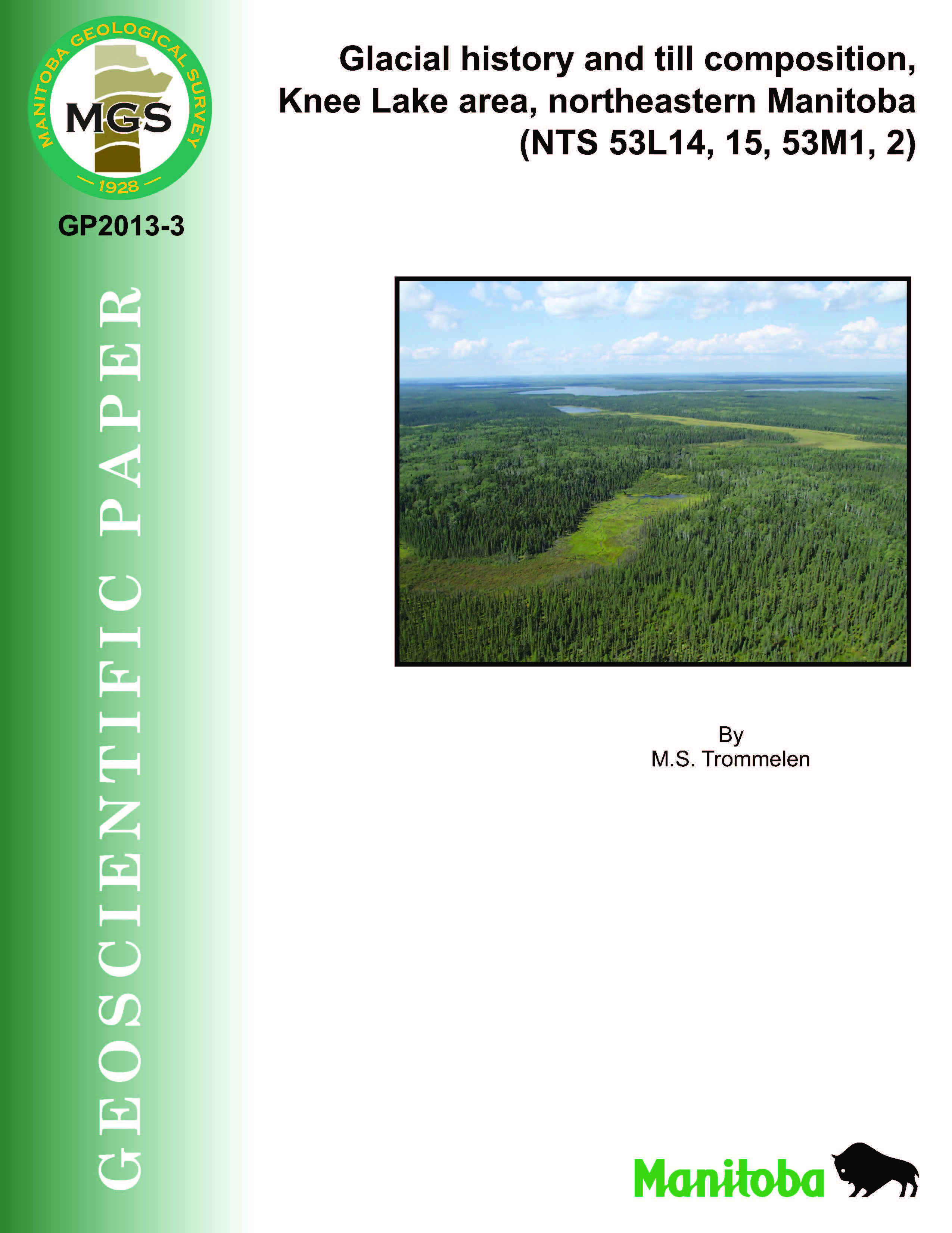
Geoscientific Paper GP2013-3
Glacial history and till composition, Knee Lake area,
northeastern Manitoba (NTS 53L14, 15, 53M1, 2)
By M.S. Trommelen
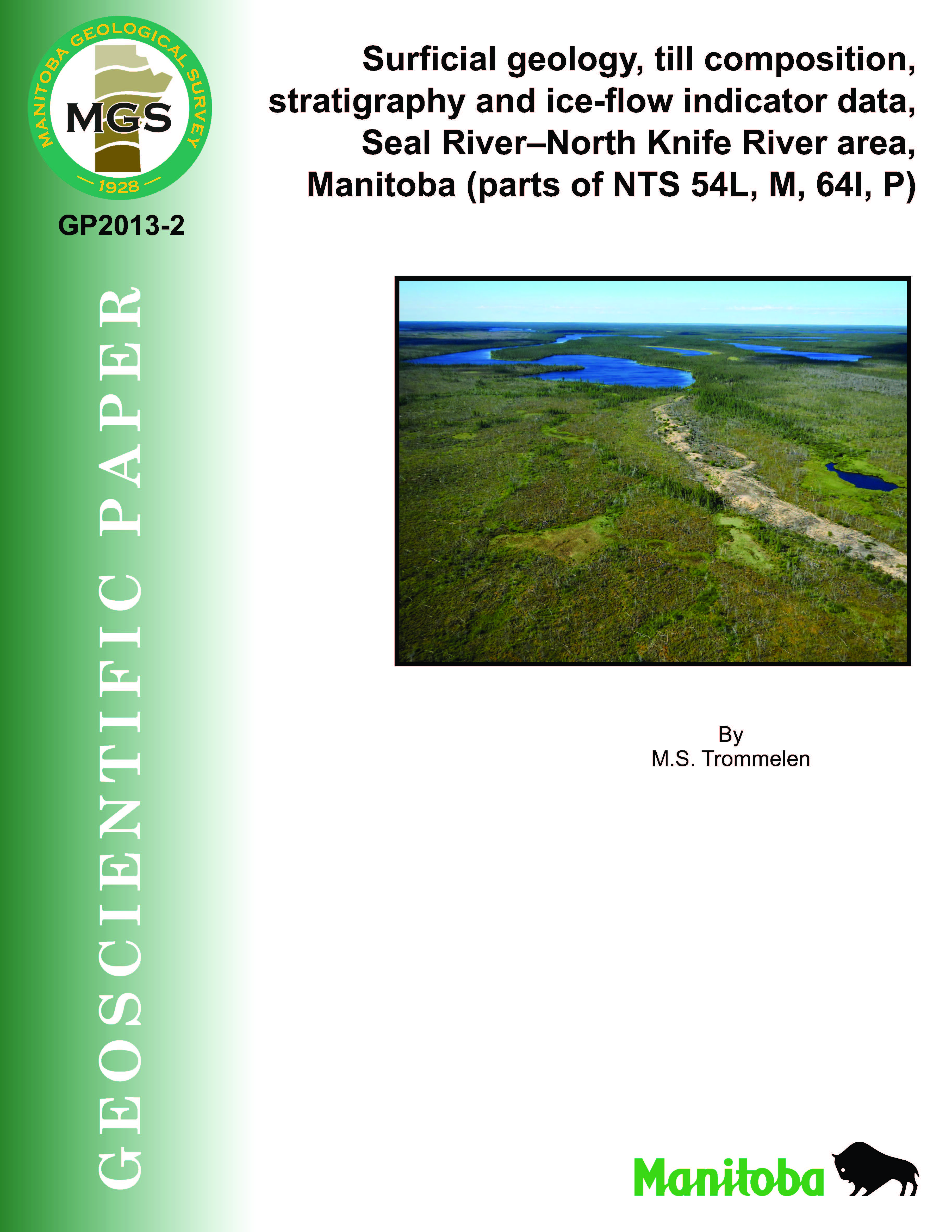
Geoscientific Paper GP2013-2
Surficial geology, till composition, stratigraphy and
ice-flow indicator data, Seal River–North Knife River
area, Manitoba (parts of NTS 54L, M, 64I, P)
By M.S. Trommelen
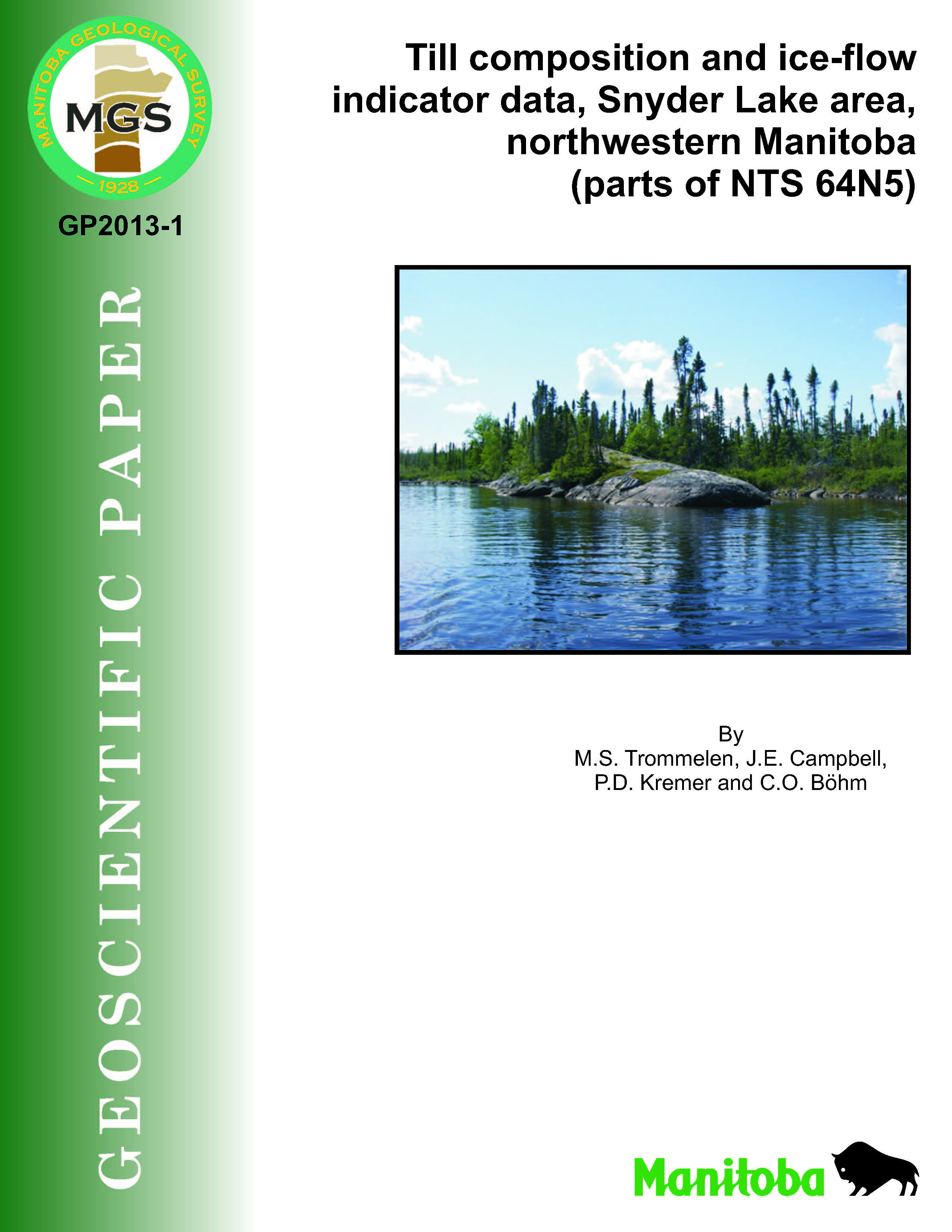
Geoscientific Paper GP2013-1
Till composition and ice-flow indicator data,
Snyder Lake area, northwestern Manitoba
(parts of NTS 64N5)
By M.S. Trommelen, J.E. Campbell, P.D. Kremer and C.O. Böhm
Geoscientific Paper GP2002-1
Kimberlite indicator-mineral survey, lower
Hayes River
By E. Nielsen and M.A.F. Fedikow
Geoscientific Paper GP4-71
Geohydrology of the metropolitan Winnipeg area as related to groundwater supply and construction
By F.W. Render
Geoscientific Map MAP2021-2
Drift thickness of southern Manitoba
By G.R. Keller and G.L.D. Matile
Geoscientific Map MAP2020-1
Surficial geology of the Arden area, Manitoba (NTS 62J6)
By T.J. Hodder and M.S. Gauthier
Geoscientific Map MAP2015-2
Surficial geology of the North Knife and South Knife lakes area (east half), Manitoba (parts of NTS 54L4, 5, 12,
64I1, 8, 9)
By M.S.
Gauthier
Geoscientific Map MAP2015-1
Surficial geology of the North Knife and South Knife lakes area (west half), Manitoba (parts of NTS 64I2–7, 10,
11)
By M.S.
Gauthier
Geoscientific Map MAP2014-4
Surficial geology of the Currie Lake NTS area (64H13), Manitoba
By M.S.
Trommelen
Geoscientific Map MAP2014-3
Surficial geology of the Majury Lake NTS area (64H12), Manitoba
By M.S.
Trommelen
Geoscientific Map MAP2014-2
Surficial geology of the Wood Lake NTS area (64H5), Manitoba
By M.S.
Trommelen
Geoscientific Map MAP2014-1
Surficial geology of the McLeod Peninsula NTS area (64H4), Manitoba
By M.S.
Trommelen
Geoscientific Map MAP2013-9
Surficial geology of the Knee Lake map area, Manitoba (NTS 53L15)
By M.S.
Trommelen
Geoscientific Map MAP2013-8
Surficial geology of the Oxford House map area, Manitoba (NTS 53L14)
By M.S.
Trommelen
Geoscientific Map MAP2013-7
Surficial geology of the Mines Point map area, Manitoba (NTS 53M2)
By M.S.
Trommelen
Geoscientific Map MAP2013-6
Surficial geology of the Makakaysip Lake map area, Manitoba (NTS 53M1)
By M.S.
Trommelen
Geoscientific Map MAP2013-5
Surficial geology of the Schoenthaler Lake area, Manitoba (parts of NTS 54L13, 54M4, 5)
By M.S.
Trommelen
Geoscientific Map MAP2013-4
Surficial geology of the Pady Lake area, Manitoba (parts of NTS 54L12, 13, 64I9, 16)
By M.S.
Trommelen
Geoscientific Map MAP2013-3
Surficial geology of the Dechanhooledezay River area, Manitoba (parts of NTS 64I9, 10, 15, 16)
By M.S.
Trommelen
Geoscientific Map MAP2013-2
Surficial geology of the Kuytoocho Lake area, Manitoba (parts of NTS 64I10, 11, 14, 15)
By M.S.
Trommelen
Geoscientific Map MAP2013-1
Surficial geology of the Thuykay Lake area, Manitoba (parts of NTS 64I14, 15, 64P2, 3, 6, 7)
By M.S.
Trommelen
Geoscientific Map MAP2011-4
Surficial geology, Sosnowski Lake, Manitoba
By M.T. Trommelen and J.E. Campbell
Also
released as Geological Survey of Canada, Canadian Geoscience Map 43
Geoscientific Map MAP2011-3
Surficial geology, Great Island–Seal River, Manitoba
By M.T. Trommelen and J.E. Campbell
Also released as
Geological Survey of Canada, Canadian Geoscience Map 42
Geoscientific Map MAP2011-2
Surficial geology, Stubner Lake, Manitoba
By M.T. Trommelen and J.E. Campbell
Also released as Geological Survey of Canada, Canadian Geoscience Map 41
Geoscientific Map MAP2011-1
Surficial geology, Gordon River, Manitoba
By M.T. Trommelen and J.E. Campbell
Also released as Geological
Survey of Canada, Canadian Geoscience Map 40
Geoscientific Map MAP2006-1
Aggregate resources in the Rural Municipality of Grahamdale, Manitoba
By H.D. Groom
Geoscientific Map MAP2003-12
Surficial geology, Whitemouth Lake, Manitoba-Ontario-Minnesota
By G.L.D.
Matile
Also released as Geological Survey of Canada Map 2060A
Geoscientific Map MAP2003-11
Surficial geology, Sandilands, Manitoba
By G.L.D.
Matile
Also released as Geological Survey of Canada Map 2059A
Geoscientific Map MAP2003-10
Surficial geology, Winkler, Manitoba
By G.L.D.
Matile
Also released as Geological Survey of Canada Map 2058A
Geoscientific Map MAP2003-9
Surficial geology, West Hawk Lake, Manitoba-Ontario
By G.L.D.
Matile
Also released as Geological Survey of Canada Map 2057A
Geoscientific Map MAP2003-8
Surficial geology, Steinbach, Manitoba
By G.L.D.
Matile
Also released as Geological Survey of Canada Map 2056A
Geoscientific Map MAP2003-7
Surficial geology, Winnipeg, Manitoba
By G.L.D.
Matile
Also released as Geological Survey of Canada Map 2055A
Geoscientific Map MAP2003-6
Surficial geology, Big Whiteshell Lake, Manitoba-Ontario
By J.D.
Mann
Also released as Geological Survey of Canada Map 2054A
Geoscientific Map MAP2003-5
Surficial geology, Beausejour, Manitoba
By A.K.
Burt
Also released as Geological Survey of Canada Map 2053A
Geoscientific Map MAP2003-4
Surficial geology, Woodlands, Manitoba
By N.M.
Grant
Also released as Geological Survey of Canada Map 2052A
Geoscientific Map MAP2003-3
Surficial geology, Nopiming, Manitoba-Ontario
By J.D.
Mann
Also released as Geological Survey of Canada Map 2051A
Geoscientific Map MAP2003-2
Surficial geology, Bélair, Manitoba
By A.K.
Burt
Also released as Geological Survey of Canada Map 2050A
Geoscientific Map MAP2003-1
Surficial geology, Inwood, Manitoba
By N.M. Grant
Also released as Geological Survey of Canada Map 2049A
Geoscientific Map MAP81-1
Surficial geological map of Manitoba
By E.
Nielsen, S. Ringrose, G.L.D. Matile, H.D. Groom, M.A. Mihychuk and G.G.
Conley
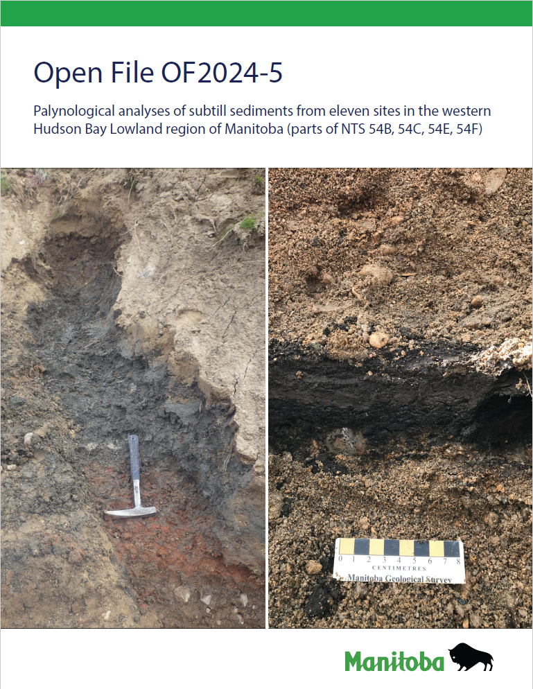
Open File OF2024-5
Palynological analyses of subtill sediments from eleven sites in the western Hudson Bay Lowland region of Manitoba (parts of NTS 54B, 54C, 54E, 54F)
By A.S. Dalton, S.A. Finkelstein, T.J. Hodder and M.S. Gauthier
Open File OF2024-1
Quaternary site, till composition and ice-flow indicator datasets in the Kaskattama highland area, northeastern Manitoba (parts of NTS 53N, O, 54B, C)
By T.J. Hodder, M.S. Gauthier, S.E. Kelley and M. Ross
Open File OF2023-3
Quaternary site data, till composition and ice-flow indicators in the Roseau River area, southeastern Manitoba (parts of NTS 62H2, 7)
By M.S. Gauthier and T.J. Hodder
Open File OF2023-1
Indicator mineral and gold grain data from till sampled in the Churchill to Little Churchill rivers area, northeastern Manitoba
By T.J. Hodder and M.S. Gauthier
Open File OF2022-1
Palynological analyses of subtill sediments from four sites in the western Hudson Bay Lowland region (parts of NTS 53O; 54A, C, D)
By A.S. Dalton, S.A. Finkelstein, T.J. Hodder and M.S. Gauthier
Open File OF2021-1
Manitoba radiocarbon ages: update
By M.S. Gauthier
NOTE: This report supersedes Geological Report GR80-4 and Open File Report OF2000-1.
Open File OF2020-5
Manitoba till-matrix geochemistry compilation 3: clay (<2 µm) size-fraction by atomic absorption spectrometry or inductively coupled plasma–emission spectrometry after aqua-regia digestion
By M.S. Gauthier
Open File OF2020-2
Manitoba till-matrix geochemistry compilation 1: silt plus clay (<63 μm) size-fraction by instrumental neutron activation analysis
By M.S. Gauthier
Open File OF2019-1
Till composition of the Arden area, southwest Manitoba (NTS 62J6)
By T.J. Hodder and M.S. Gauthier
Open File OF2018-3
Till composition of a sampling transect in
the Lynn Lake area, northwest Manitoba
(parts of NTS 64B12, 64C9, 11, 12, 14–16, 64F3, 4)
By T.J. Hodder and M.S. Gauthier
Open File OF2018-1
Ice-flow history and till composition of the Southern Indian Lake area, north-central Manitoba (parts of NTS 64G1, 2, 7–10, 64B15)
By T.J. Hodder
Open File OF2017-4
Quaternary stratigraphy and till composition along the Hayes, Gods, Nelson, Fox, Stupart, Yakaw, Angling and Pennycutaway rivers, northeast Manitoba (parts of NTS 53N, 54C, 54D, 54F)
By T.J. Hodder, M.S. Gauthier and E. Nielsen
Open File OF2017-2
Kimberlite-indicator-mineral results derived from glacial sediments (till) in the Southern Indian Lake area of north-central Manitoba (parts of NTS 64B15, 64G1, 2, 7, 8)
By T.J. Hodder
Open File OF2017-1
Kimberlite-indicator-mineral results derived from glacial sediments (till) in the Kaskattama highland area of northeast Manitoba (parts of NTS 53N, O, 54B, C)
By T.J. Hodder and S.E. Kelley
Open File OF2011-4
Till composition and ice-flow indicator data, Great Island–Caribou Lake area (parts of NTS 54L, 54M, 64I and 64P), northeast Manitoba
By J.E. Campbell, M.S. Trommelen, M.W. McCurdy, C.O. Böhm, and M. Ross
Also released as Geological Survey of Canada Open File 6967
Open File OF2009-13
Till geochemical and indicator mineral reconnaissance
of southeastern Manitoba (west half of NTS 52E and
52L and all of 62H and 62I): final results
By L.H. Thorleifson, G.L.D. Matile, G.R. Keller and S.A. Hauck
Open File OF2008-13
Geochemical and kimberlite-indicator-mineral results
for till samples from the Nejanilini, Kasmere and
Putahow lakes areas, northern Manitoba (NTS 64N,
64O, 64P)
by C.O. Böhm, S.D. Anderson, G.L.D. Matile and G.R. Keller
Open File Report OF2005-2
Till Geochemistry in northwestern Manitoba (NTS 63N, 64B, 64F and 64G and parts of 63K, 63O, 64A and 64C)
By P.G. Lenton and C.A. Kaszycki
Open File Report OF2002-1
Operation Superior: Compilation of
Kimberlite Indicator Mineral Survey Results
(1996-2001)
by M.A.F. Fedikow, E. Nielsen, G.G. Conley and P.G. Lenton
NOTE: This report supersedes OF2001-4.
Open File Report OF2001-5
Operation Superior: Kimberlite Indicator
Mineral Survey Results (2000) for the
Northern Half of the Knee Lake Greenstone
Belt, Northern Superior Province, Manitoba
(NTS 53M/1, 2, 3, 7 and 53L/15)
By M.A.F. Fedikow, E. Nielsen, G.G. Conley and P.G. Lenton
Open File Report OF2001-3
Kimberlite Indicator Minerals from
West-central Manitoba (NTS 62N, 63C, 63K)
By J.D. Bamburak and M.A.F. Fedikow
Open File Report OF98-6
Observations on Selenite Distribution within the Lake Agassiz Clay Plain
By G. Matile and B. Betcher (Natural Resources, Water Resources Branch, Groundwater Management Section)
Open File OF97-3
Till Geochemical and Indicator Mineral Reconnaissance of Northeastern Manitoba
By G.L.D. Matile and L.H. Thorleifson
Open File OF96-8
Holocene Evolution of the Manitoba Great
Lakes Region
By G. Matile, C.F.M. Lewis, E. Nielsen, L.H. Thorleifson and B.J. Todd
Open File OF96-2
Kimberlite Indicator Mineral Analysis from the Westlake Plain: Follow-Up to the GSC Prairie Kimberlite Study
By G. Matile and E. Nielsen (Manitoba Energy and Mines),
L.H. Thorleifson and R.G. Garrett (Geological Survey of Canada)
Open File Report OF91-4
Glacial Dispersion and Till Geochemistry
Around the Lar Cu-Zn Deposit,
Lynn Lake Greenstone Belt, Manitoba
By E. Nielsen and G.G. Conley
Open File Report OF89-3
Trace Element Geochemistry and Till
Provenance in The Pas - Flin Flon Area,
Manitoba
by Erik Nielsen and Heather Groom
Open File Report OF87-2
Glacial Dispersal of Trace Elements
in Wisconsinan Till in the
Dot lake-Maclellan Mine Area, Manitoba
By E. Nielsen and M.A.F. Fedikow
Open File Report OF87-1
Till Geochemistry of -the Seal River Area,
East of Great Island, Manitoba
by E. Nielsen
Open File Report OF86-2
Till Geochemistry of the Minton Lake–Nickel
Lake Area (Agassiz Metallotect),
Lynn Lake, Manitoba
By E. Nielsen and M.A.F. Fedikow
Open File Report OF83-2
Surficial Geology & Aggregate Resources Inventory of the Russell-Shoal Lake Area
By Gartner Lee Associates Limited
Open File Report OF83-1
Aggregate Resource Inventory of the South Riding Mountain Area
By R.V. Young
NOTE: This report supersedes Preliminary Maps 1980SRM-1, 1980SRM-2, 1980SRM-3 and 1980SRM-4
Open File Report OF82-5
Aggregate Resource Inventory of the Rural Municipality of Brokenhead
Compiled by R.V. Young
Open File Report OF82-2
Aggregate Resource Management Proposals for Land Use Planning within the South Interlake Planning District
Compiled by R.V. Young
Open File Report OF80-2
Mineral Aggregate Study of the Southern Interlake Region: Volume 1
By James F. MacLaren Limited
Open File Report 78/5
Sand & Gravel Resources of the Dauphin Region
By Gartner Lee Associates Limited; Proctor & Redfern Limited
Open File Report 77/8
Volume 1: Sand and Gravel Resources of the Brandon Region
By The UMA Group
Open File Report 77/4
Aggregate Resources of the Winnipeg Region
Prepared by the UMA Group
Preliminary Map PMAP2011-4
Surficial geology, Snyder Lake, northwestern Manitoba (parts of NTS 64N5)
By M.S.
Trommelen
Preliminary Map PMAP2006-6
Surficial geology of the Kasmere–Putahow lakes area, northwestern Manitoba (parts of NTS 64N10, 11, 14
and 15)
By G.L.D.
Matile
Preliminary Map PMAP2005-4
Surficial geology of Nejanilini Lake, Manitoba (parts of NTS 64P5, 12 and 13)
By G.L.D. Matile
Preliminary Map PMAP1984SG
Sand and gravel resources within the southern portion of the local government district of Grahamdale, parts of 62O/1 and 62J/16
By R.V. Young
Preliminary Map PMAP1983SD-2
Sand and Gravel Resources of the Selkirk and District Planning Area (south portion), NTS parts of 62I/2,3
Inventory by P. Mitchell
Preliminary Map PMAP1983SD-1
Sand and Gravel Resources of the Selkirk and District Planning Area (north portion), NTS parts of 62I/6,7
Inventory by P. Mitchell
Preliminary Map 1979PN-1 to PMAP1979PN-4
Quaternary Geology of the Neepawa area, Glenella, N.T.S. 62J/11W1/2 and 62J/12E1/2
Quaternary Geology of the Neepawa area, Arden, N.T.S. 62J/5E1/2 and 62J/12W1/2
Quaternary Geology of the Neepawa area, Moore Park, N.T.S. 62J/4E1/2
Quaternary Geology of the Neepawa area, Neepawa, N.T.S. 62J/3
By M. Mihychuk and H. Groom (4 maps within zip file)
Preliminary Map PMAP1978PW-5
Quaternary Geology of the Portage Geology of the Portage-Winkler Area, N.T.S. 62H/4
By S. Ringrose and M. Mihychuk
Preliminary Map PMAP1978PW-4
Quaternary Geology of the Portage Geology of the Portage-Winkler Area, N.T.S. 62G/1
By S. Ringrose and M. Mihychuk
Preliminary Map PMAP1978PW-3
Quaternary Geology of the Portage Geology of the Portage-Winkler Area, N.T.S. 62G/8
By S. Ringrose and M. Mihychuk
Preliminary Map PMAP1978PW-2
Quaternary Geology of the Portage Geology of the Portage-Winkler Area, N.T.S. 62G/9
By S. Ringrose and M. Mihychuk
Preliminary Map PMAP1978PW-1
Quaternary Geology of the Portage Geology of the Portage-Winkler Area, N.T.S. 62G/16
By S. Ringrose and M. Mihychuk
Preliminary Map PMAP1977KH-24
Quaternary Geology of the Kiski-Hill Lakes area, Playgreen Lake, N.T.S. 63G/16
By S. Ringrose
Preliminary Map PMAP1977KH-23
Quaternary Geology of the Kiski-Hill Lakes area, Limestone Bay, N.T.S. 63G/15
By S. Ringrose
Preliminary Map PMAP1977KH-22
Quaternary Geology of the Kiski-Hill Lakes area, William Lake, N.T.S. 63G/14
By S. Ringrose
Preliminary Map PMAP1977WPG-1 to WPG-23
Quaternary geology of the Winnipeg Region
Set of 23 maps
Preliminary Map PMAP1976P-2
Quaternary geology of the Cockeram Lake area
By N.
O'Donnell
Preliminary Map PMAP1976P-1
Quaternary geology of the Lynn Lake area
By N.
O'Donnell
Aggregate Report AR94-3
Aggregate Resource Inventory in the Local Government District of Stuartburn
By G.L.D. Matile
Aggregate Report AR94-2
Aggregate Resource Inventory in the
Local Government District of Piney
By G.L.D. Matile
Aggregate Report AR94-1
Aggregate Resource Inventory in the
Rural Municipality of La Broquerie
By G.L.D. Matile
Aggregate Report AR93-1
Aggregate Resources in the Rural
Municipalities of Albert and Pipestone
By H.D. Groom
Aggregate Report AR92-5
Aggregate Resources in the Rural Municipalities of Edward and Arthur
By H.D. Groom
Aggregate Report AR92-4
Aggregate Resources in the Rural Municipality of Minitonas
By H.D. Groom
Aggregate Report AR92-3
Aggregate Resource Inventory of the Rural Municipality of Stanley
By R.V.
Young
Aggregate Report AR92-2
Aggregate Resource Inventory of the Rural Municipality of Pembina
By R.V.
Young
Aggregate Report AR92-1
Aggregate Resources in the Rural Municipalities of Boulton and Hillsburg
By H.D. Groom
Aggregate Report AR91-2
Aggregate Resource Inventory of the Rural Municipality of Strathcona
By R.V.
Young
Aggregate Report AR91-1
Aggregate Resource Inventory of the Rural Municipality of Argyle
By R.V.
Young
Aggregate Report AR90-1
Sand and Gravel Resources in the Rural Municipalities of Winchester and Morton
By H.D. Groom
NOTE: This report supersedes Preliminary Maps 1987-MOR and 1987-WIN
Aggregate Report AR89-6
Aggregate Resources of the Snow Lake Area
By
M.A. Mihychuk
Aggregate Report AR89-5
Aggregate Resources in the Rural Municipality of Franklin
By
M.A. Mihychuk
Aggregate Report AR89-4
Aggregate Resource Inventory of the Rural Municipality of Lorne
By R.V.
Young
Aggregate Report AR89-3
Aggregate Resource Inventory in the
Rural Municipality of De Salaberry
By G.L.D. Matile
NOTE: This report supersedes Preliminary Map 1987-DS
Aggregate Report AR89-2
Aggregate Resource Inventory in
the L.G.D. of Reynolds
By G.L.D. Matile
Aggregate Report AR89-1
Aggregate Resources and Inventory of the Rural Municipality of Louise
By R.V.
Young
NOTE: This report supersedes Preliminary Map 1987-LOU
Aggregate Report AR88-13
Sand and Gravel Resources in the
Flin Flon-Cranberry Portage Area
By H.D.
Groom
Aggregate Report AR88-1 (Compilation map series)
Geoscientific Map MAP AR88-1-1: Kenora, NTS 52E
Map AR88-1-2: Winnipeg, NTS 62H
Map AR88-1-3: Brandon, NTS 62G
Map AR88-1-4: Virden, NTS 62F
Map AR88-1-5: Pointe Du Bois, NTS 52L
Map AR88-1-6: Selkirk, NTS 62I
Map AR88-1-7: Neepawa, NTS 62J
Map AR88-1-8: Riding Mountain, NTS 62K
Map AR88-1-9: Hecla, NTS 62P
Map AR88-1-10: Dauphin Lake, NTS 62O
Map AR88-1-11: Duck Mountain, NTS 62N
Map AR88-1-12: Swan Lake, NTS 63C
Aggregate Report AR87-3
Aggregate Resources of the
Cross Lake Area
By
M. Mihychuk
NOTE: This report supersedes Preliminary Map 1987-CL
Aggregate Report AR87-2
Aggregate Resources and
Surficial Geology of the Local
Government District of Park North
By
M. Mihychuk
NOTE: This report supersedes Preliminary Map 1986PK
Aggregate Report AR87-1
Aggregate Resource Inventory of the Rural Municipality of South Norfolk
By R.V.
Young
NOTE: This report supersedes Preliminary Map 1985SN
Aggregate Report AR86-3
Aggregate Resources and Surficial Geology of the Rural Municipality of Roblin
By
M.A. Mihychuk and P. Berk
NOTE: This report supersedes Preliminary Map 1985ROB
Aggregate Report AR86-2
Aggregate Resources in the Rural Municipality of Shellmouth
By H.D.
Groom
NOTE: This report supersedes Preliminary Map 1985SM
Aggregate Report AR86-1
The Aggregate Potential of Selected Paleozoic and Precambrian Rocks in Manitoba
By C.W. Jones
Aggregate Report AR85-4
Surficial Geology and Aggregate Resource Inventory of the Rural Municipality of Shell River
By
UMA Engineering Ltd.
Aggregate Report AR85-3
Aggregate Resources in the Rural Municipality of Miniota
By H.D.
Groom
NOTE: This report supersedes Preliminary Map 1984MIN
Aggregate Report AR85-2
Late Wisconsinan Stratigraphy and sand and gravel resources in the Rural Municipality of Lac du Bonnet and Local Government District of Alexander
By G.
Matile and H. Groom
Aggregate Report AR85-1
Aggregate Resources in the Rural Municipality of Wallace
By P.R.
Berk
NOTE: This report supersedes Preliminary Map 1984WAL
Aggregate Report AR84-5
Quaternary Geology Map of the Birds Hill Area
Geology by G.L.D. Matile
Aggregate Report AR84-4
Surficial Geology and Aggregate Resource Inventory of the Rural Municipality of Victoria
By
Underwood McLellan Ltd.
Aggregate Report AR84-3
Quaternary Geology of the Gypsumville Area
Geology by E. Nielsen and G. Matile
Aggregate Report AR84-2
Surficial Geology and Aggregate Resources of the Fisher Branch Area: Local Government District of Fisher and Rural Municipality of Bifrost
By H.D.
Groom
NOTE: This report supersedes Preliminary Map 1982FB
Aggregate Report AR84-1
Surficial Geology and Aggregate Resource Inventory of the Rural Municipality of Whitemouth
By R.V. Young
NOTE: This report supersedes Preliminary Map 1983WM
Aggregate Report AR80-7
Quaternary Geology Map: Southern Manitoba 62G Brandon
Aggregate Report AR80-6
Quaternary Geology Map: Southern Manitoba 62F Virden
Aggregate Report AR80-5
Quaternary Geology Map: Southern Manitoba 62K Riding Mountain
Aggregate Report AR80-4
Quaternary Geology and Sand and Gravel Resources of the Rural Municipality of Hanover
Geology by G. Matile and G. Conley
Aggregate Report AR80-3
Quaternary Geology and Sand and Gravel Resources of the Rural Municipality of Ste. Anne
Geology by G. Matile and G. Conley
Aggregate Report AR80-2
Quaternary Geology and Sand and Gravel Resources of the Rural Municipality of Taché
Geology by G. Matile and G. Conley
Aggregate Report AR80-1
Quaternary Geology and Sand and Gravel Resources of the Rural Municipality of Springfield
Geology by G. Matile and G. Conley
Data Repository Item DRI2025025
2024 granular-aggregate field visits—Quaternary site data, sample composition and ice-flow indicators—in southern Manitoba (parts of NTS 62H7, 10, 15, 16, 62I2, 6)
By M.S. Gauthier and J. Rentz
Accompanies GS2025-20, Report of Activities 2025
Data Repository Item DRI2025017
Gold, rare element and other indicator-mineral data derived from glacial sediments (till) in between the North Knife River and the Seal River, and in the Gross Lake area, far northeastern Manitoba (parts of NTS 54L10–15, 54M5, 6, 12)
by M.S. Gauthier
Data Repository Item DRI2025007
Field-based ice-flow–indicator data between the North Knife River and the Seal River, and in the Gross Lake area, far northeastern Manitoba (parts of NTS 54L10, 11, 12, 13, 14, 15 and 54M5, 6, 12)
by M.S. Gauthier
Data Repository Item DRI2025006
Gold and indicator-mineral data derived from glacial sediments (till) in southeastern Manitoba (parts of NTS 52L, M, 62P, 63A)
by T.J. Hodder
Data Repository Item DRI2025005
Till-matrix geochemistry data from the 2022–2024 field seasons in southeastern Manitoba (parts of NTS 52L, 62P, 63A)
by T.J. Hodder
Data Repository Item DRI2025002
Quaternary stratigraphy from the Gillam area, northeastern Manitoba: additional 2022 and 2023 data (NTS 54D5, 7, 8; 64A2)
by M.S. Gauthier and T.J. Hodder
Data Repository Item DRI2024010
Field-based ice-flow–indicator data collected during the 2023 and 2024 field seasons in southeastern Manitoba (parts of NTS 52L, M, 62P)
by T.J. Hodder
Data Repository Item DRI2024007
2023 aggregate field visits: Quaternary site data, composition, and ice-flow indicators from gravel pits in southern Manitoba (parts of NTS 62H15, I13, P5)
by M.S. Gauthier and J. Rentz
Data Repository Item DRI2024006
Till-clast–lithology data, Gillam area, northeastern Manitoba (parts of NTS 54C, D, 64A)
by M.S. Gauthier
Data Repository Item DRI2024005
Till-clast–lithology data, western Fox River greenstone belt area, northeastern Manitoba (NTS 53M15, 16, parts of 53N12, 13, 54C4, D1)
by M.S. Gauthier, M. Budge and M. Friesen
Data Repository Item DRI2024004
Gold and indicator-mineral data derived from glacial sediments (till) in southeastern Manitoba (parts of NTS 52L, 62P, 63A)
by T.J. Hodder
NOTE: This publication supersedes Data Repository item DRI2023011.
Data Repository Item DRI2024003
Till-matrix geochemistry data from the 2022–2023 field seasons in southeastern Manitoba (parts of NTS 52L, 62P, 63A)
by T.J. Hodder
Data Repository Item DRI2024002
Till geochemistry from eight sections near the confluence of the Hayes and Gods rivers, northeastern Manitoba (parts of NTS 54C2, 7)
by L.N. Mesich, M.S. Gauthier and T.J. Hodder
Data Repository Item DRI2024001
Till heavy mineral analysis (gold, MMSIM, visual KIM) from eight sections near the confluence of the Hayes and Gods rivers, northeastern Manitoba (parts of NTS 54C2, 7)
by M.S. Gauthier, L.N. Mesich and T.J. Hodder
Data Repository Item DRI2023015
Till geochemistry and heavy mineral analyses (gold, MMSIM®, visual KIM) of the western Fox River greenstone belt area, northeastern Manitoba (NTS 53M15, 16, parts of 53N13, 54C4, 54D1): year 2
by M.S. Gauthier and T.J. Hodder
Data Repository Item DRI2023010
Quaternary field site data collected during the 1997–1998 NATMAP field seasons, southeastern Manitoba (parts of NTS 52L, 62H, I)
by G.L.D. Matile, L.H. Thorleifson, A.B. Martin and T.J. Hodder
Data Repository Item DRI2023009
Quaternary field site data collected during the 1993–1994 NATMAP field seasons, southeastern Manitoba (parts of NTS 52E, 62A, H)
by G.L.D. Matile, L.H. Thorleifson, A.B. Martin and T.J. Hodder
Data Repository Item DRI2023008
Till geochemistry and heavy mineral analyses (gold, MMSIM®, visual KIM) from three sections near the confluence of the Hayes and Gods rivers, northeastern Manitoba (part of NTS 54C7)
by M.S. Gauthier and T.J. Hodder
Data Repository Item DRI2023007
Till-matrix geochemistry re-analyses data from far northeastern and far northwestern Manitoba (parts of NTS 54E, F, L, 64J, K, N, O)
by M.S. Gauthier and P.-M. Godbout
Data Repository Item DRI2023005
Rotosonic borehole stratigraphy, southeastern Manitoba (parts of NTS 52E, 62H)
By G.L.D. Matile, H. Thorleifson and M.S. Gauthier
Data Repository Item DRI2023004
Till-matrix geochemistry data from the Gillam area, northeastern Manitoba: additional 2022 data (NTS 54D5–8, 64A2)
By M.S. Gauthier and T.J. Hodder
Data Repository Item DRI2023003
Sandilands rotosonic drillcore data, southeastern Manitoba (parts of NTS 52E, 62H)
By G.L.D. Matile, M.S. Gauthier and M.P.B. Nicolas
Data Repository Item DRI2023002
Field-based ice-flow data collected during the 1998 NATMAP II field season, southeastern Manitoba (parts of NTS 52L, 62I)
By G.L.D. Matile, L.H. Thorleifson, T.J. Hodder and A.B. Martin
Data Repository Item DRI2023001
Sediment gold grain count data from the Little Bear Lake property (AFN 74096), southeastern Manitoba
By T.J. Hodder
Data Repository Item DRI2022011
Till-fabric measurements and statistics from sections near the confluence of the Hayes and Gods rivers, northeastern Manitoba (part
of NTS 54C7)
By T.J. Hodder and M.S. Gauthier
Data Repository Item DRI2022010
Kimberlite-indicator-mineral data derived from glacial sediments (till) in the western Fox River greenstone belt area, northeastern
Manitoba (NTS 53M15, 16)
By T.J. Hodder and M.S. Gauthier
Data Repository Item DRI2022009
Field-based ice-flow indicator data from the Split Lake and Fox River belt areas, northeastern Manitoba (parts of NTS 53M15, 16,
54D2, 4, 64A2)
By M.S. Gauthier and T.J. Hodder
Data Repository Item DRI2022006
Till-matrix geochemistry data from the Machichi–Kettle rivers area, far northeastern Manitoba (parts of NTS 54A–C)
By T.J. Hodder and M.S. Gauthier
Data Repository Item DRI2022005
Till-matrix geochemistry data from the Churchill–Little Churchill rivers area, northeastern Manitoba (part of NTS 54E)
By T.J. Hodder and M.S. Gauthier
Data Repository Item DRI2022004
Till-matrix geochemistry data from the Gillam area, northeastern Manitoba: additional 2021 data (NTS 54D7, 9, 11)
By M.S. Gauthier and T.J. Hodder
Data Repository Item DRI2021020
Kimberlite-indicator-mineral data derived from glacial sediments (till) in the Russell–McCallum lakes area of northwestern Manitoba (parts of NTS 64C3–6)
By T.J. Hodder
Data Repository Item DRI2021018
Kimberlite-indicator-mineral data derived from glacial sediments (till) in the Machichi–Kettle rivers area, far northeastern Manitoba (parts of NTS 54A–C)
by T.J. Hodder and M.S. Gauthier
Data Repository Item DRI2021010
Till geochemistry and heavy mineral analyses of the western Fox River greenstone belt area, northeastern Manitoba (NTS 53M15, 16), plus 4 samples from the Gillam area (parts of 54D7, 11)
By M.S. Gauthier and T.J. Hodder
Data Repository Item DRI2021007
Till-matrix geochemistry data, Machichi–Kettle rivers area, far northeastern Manitoba (parts of NTS 54A–C)
By T.J. Hodder and M.S. Gauthier
Data Repository Item DRI2021006
Till geochemistry from Manigotagan to Berens River, southeastern Manitoba (parts of NTS 62P1, 7, 8, 10, 15, 63A2, 7)
By M.S. Gauthier and T.J. Hodder
Data Repository Item DRI2020025
Field-based ice-flow–indicator data from Manigotagan to Berens River, southeastern Manitoba (parts of NTS 62P1, 7, 8, 10, 15, 63A2, 7)
By M.S. Gauthier and T.J. Hodder
Data Repository Item DRI2020022
Till-geochemistry data for the Snow Lake area, northwest Manitoba (NTS 63K16, 63J12, 13)
By E. Nielsen and M.S. Gauthier
Data Repository Item DRI2020021
Quaternary stratigraphy and overburden geochemistry in the Phanerozoic terrane of southern Manitoba
By E. Nielsen and M.S. Gauthier
Data Repository Item DRI2020020
Till-geochemistry data for the Naosap Lake area (NTS 63K14), northwest Manitoba
By E. Nielsen and M.S. Gauthier
Data Repository Item DRI2020019
Till-geochemistry data near Darrol Lake (NTS 64B5), northwest Manitoba
By E. Nielsen and M.S. Gauthier
Data Repository Item DRI2020018
Till-geochemistry data from Kississing Lake (NTS 63N3), northwest Manitoba
By E. Nielsen and M.S. Gauthier
Data Repository Item DRI2020017
Till-geochemistry data from Iskwasum Lake (NTS 63K10), northwest Manitoba
By E. Nielsen and M.S. Gauthier
Data Repository Item DRI2020016
Till geochemistry data for the Elbow Lake area, northwest Manitoba (NTS 63K15, 16, 63N2)
By E. Nielsen and M.S. Gauthier
Data Repository Item DRI2020015
Till geochemistry data for the Flin Flon area, northwest Manitoba (NTS 63K13)
By E. Nielsen and M.S. Gauthier
Data Repository Item DRI2020014
Till geochemistry data northeast of Ruttan Mine, northwest Manitoba (NTS 64B5)
By E. Nielsen and M.S. Gauthier
Data Repository Item DRI2020013
Till geochemistry data north of Leclair Lake, northwest Manitoba (NTS 64F8)
By E. Nielsen and M.S. Gauthier
Data Repository Item DRI2020005
Till-matrix geochemistry data from the Gillam area, northeast Manitoba
By M.S. Gauthier and T.J. Hodder
Data Repository Item DRI2020004
Till-matrix geochemistry data, Russell–McCallum Lakes area, northwestern Manitoba (parts of NTS 64C3–6)
By T.J. Hodder
Data Repository Item DRI2019005
Field-based ice-flow–indicator data, Russell–McCallum lakes area, northwestern Manitoba (parts of NTS 64C3–6)
By T.J. Hodder
Data Repository Item DRI2019002
Till-matrix geochemistry data from the Pilot Mound and Morden areas, southwest Manitoba
By T.J. Hodder and M.S. Gauthier
Note: This DRI file was re-released on December 19, 2019 with two columns of duplicate data removed from Table 1_2.
Data Repository Item DRI2018002
Till-matrix geochemistry and clast-lithology count data from drillcore Kaskattama Kimberlite No. 1 (629938E, 6236237N, UTM Zone 15N [NAD83]), Kaskattama highland, northeastern Manitoba (part of NTS 54B7)
By T.J. Hodder
Data Repository Item DRI2018001
Kimberlite-indicator–mineral data derived from glacial sediments (till) in the Kaskattama highland area of northeastern Manitoba (parts of NTS 53N, O, 54B, C)
By T.J. Hodder
Data Repository Item DRI2017003
Field-based ice-flow indicator data, Kinoosao–Lynn Lake–Leaf Rapids, northwestern Manitoba (parts of NTS
64B12, 64C9, 11, 12, 14–16, 64F3, 4)
By M.S. Gauthier and T.J. Hodder
Accompanies GS2017-17, Report of Activities 2017
Data Repository Item DRI2016004
Till-matrix (<177 μm) geochemistry analytical results from the Lynn Lake (parts of NTS 64C14, 64F3, 4),
Southern Indian Lake (parts of NTS 64G8, 9), Churchill River (parts of NTS 64F14, 64K3, 6, 11) and Fisher
Branch (NTS 62P) areas, Manitoba
By T.J. Hodder and C.W. Bater
Accompanies GS-20, Report of Activities 2016
Data Repository Item DRI2016003
Kimberlite-indicator mineral results from the Arden NTS area (62J6), southwestern Manitoba
By T.J. Hodder and M.S. Gauthier
Accompanies GS-10, Report of Activities 2015
Data Repository Item DRI2014003
Field-based ice-flow indicator data, Gillam to Gull Lake, north-central Manitoba (NTS 54D5, 6, 7)
By M.S. Trommelen
Accompanies GS-17, Report of Activities 2014
Note: This DRI has been superseded by Geoscientific Paper GP2022-2.
Data Repository Item DRI2013005
Field-based ice-flow indicator data, Gillam to Split Lake, north-central Manitoba (NTS 54D, 64A)
By M.S. Trommelen
Accompanies GS-16, Report of Activities 2013
Note: This DRI has been superseded by Geoscientific Paper GP2022-2.
Data Repository Item DRI2013004
Radiocarbon data, Gillam and Knee Lake areas, north-central Manitoba (NTS 54C, D, 53M1)
By M.S. Trommelen
Accompanies GS-16, Report of Activities 2013
Data Repository Item DRI2013003
Field-based ice-flow indicator data, Gauer Lake–Wishart Lake area, north-central Manitoba (NTS 64H4, 5, 12,
13, parts of 64G1, 8)
By M.S. Trommelen
Accompanies GS-15, Report of Activities 2013
Data Repository Item DRI2012004
Field-based ice-flow indicator data, Oxford House–Knee Lake area, northeastern Manitoba (NTS 53L14, 15,
53M1, 2)
By M.S. Trommelen
Accompanies GS-17, Report of Activities 2012
Data Repository Item DRI2011002
Field-based ice-flow indicator data, Synder–Grevstad lakes area, northwestern Manitoba (parts of NTS
64N5)
By M.S.
Trommelen
Accompanies GS-2, Report of Activities 2011
Data Repository Item DRI2011001
Field-based ice-flow indicator data, Churchill area, northeastern Manitoba (part of NTS 54L16)
By M.S.
Trommelen
Accompanies GS-3, Report of Activities 2011
Data Repository Item DRI2008001
Sample locations, geochemical data, pebble lithology and kimberlite-indicator-mineral results, Nejanilini,
Kasmere and Putahow lakes areas, northern Manitoba (NTS 64N, 64O, 64P)
By C.O. Böhm, S.D. Anderson, G.L.D.
Matile and G.R. Keller
Accompanies Open File OF2008-13
Geoscientific Presentation PRES2020-1
Deciphering the Exceptional Quaternary Stratigraphic Record of the Southwest Hudson Bay Lowland
T.J. Hodder (Manitoba Geological Survey; University of Waterloo), M.S. Gauthier (Manitoba Geological Survey) and M. Ross (University of Waterloo)
Geological engineering report for urban development of Winnipeg
B. Kjartanson (principal author)
Department of Geological Engineering, University of Manitoba


