GIS Map Gallery Geographic Information System
|
 |
Lm – shoreline sand and gravel
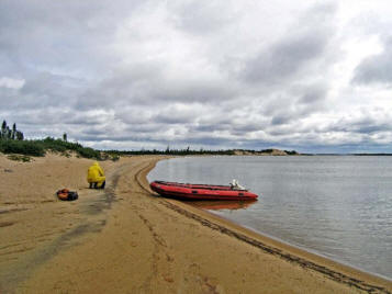
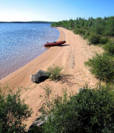
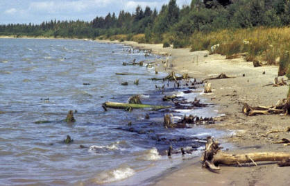
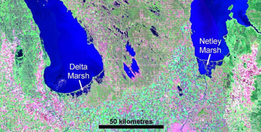
Larger lakes with significant bodies of open water can generate enough wave energy to erode sediment and rock from headlands developing sand beaches along more protected shorelines (Images 5–7). Larger lakes also display the effects of isostatic rebound (see ‘Isostatic rebound’ section in the notes above and ‘Isostatic rebound – Manitoba’s great lakes region' to the right). Lakes with northern outlets (rate of rebound increases northward), such as lakes Winnipeg and Manitoba, are expanding southward, thereby drowning the southern shore to form a marsh (Image 8: satellite image of Netley and Delta marshes), whereas lakes with a southern outlet, such as Lake Winnipegosis, have raised beaches, particularly along the north shore. Image 7 shows that the south shore of Lake Winnipeg is retreating southward exposing plant remains that were once in the Netley Marsh.
 Image 5
|
 Image 6 |
 Image 7
|
|
 Image 8 |
|
 Back to Surficial Geology Compilation Map Series of Manitoba (SGCMS)


